Weather - First Look

Today is

This free script provided by
JavaScript Kit

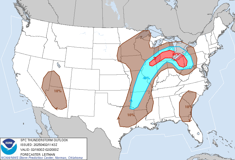
As a National Weather Service SKYWARN storm spotter, I like to keep a close eye on the weather, especially when severe weather is in the forecast. Each morning, this page is my first look at the weather. The purpose of this page is to answer these questions:

  • Is today a severe weather day?

  • If so, what, where and when?

  • Is severe weather within the three to five day forecast?

  • Does the National Weather Service anticipate that storm spotters and emergency management personnel may or will be activated? Note: The "Spotter Call to Action Statement" in the Hazardous Weather Outlook is of particular importance.

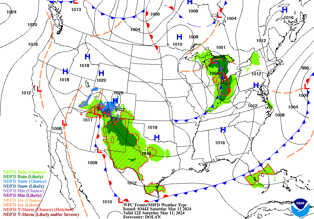
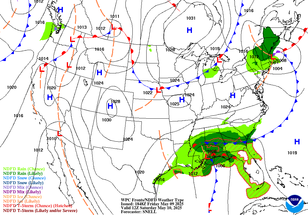
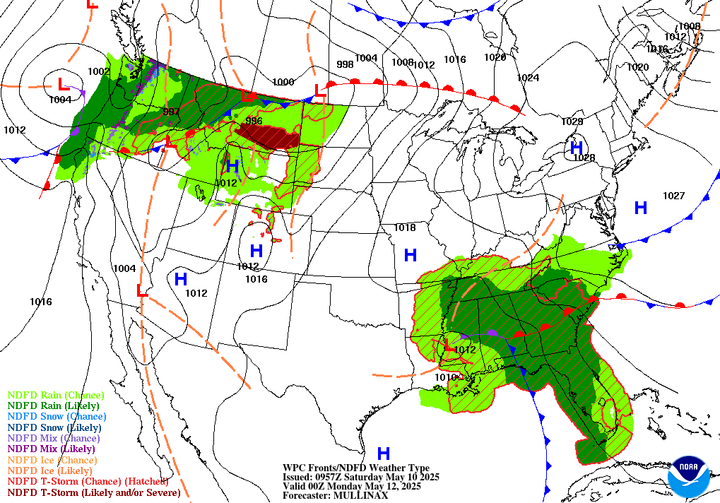
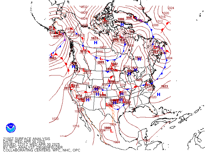
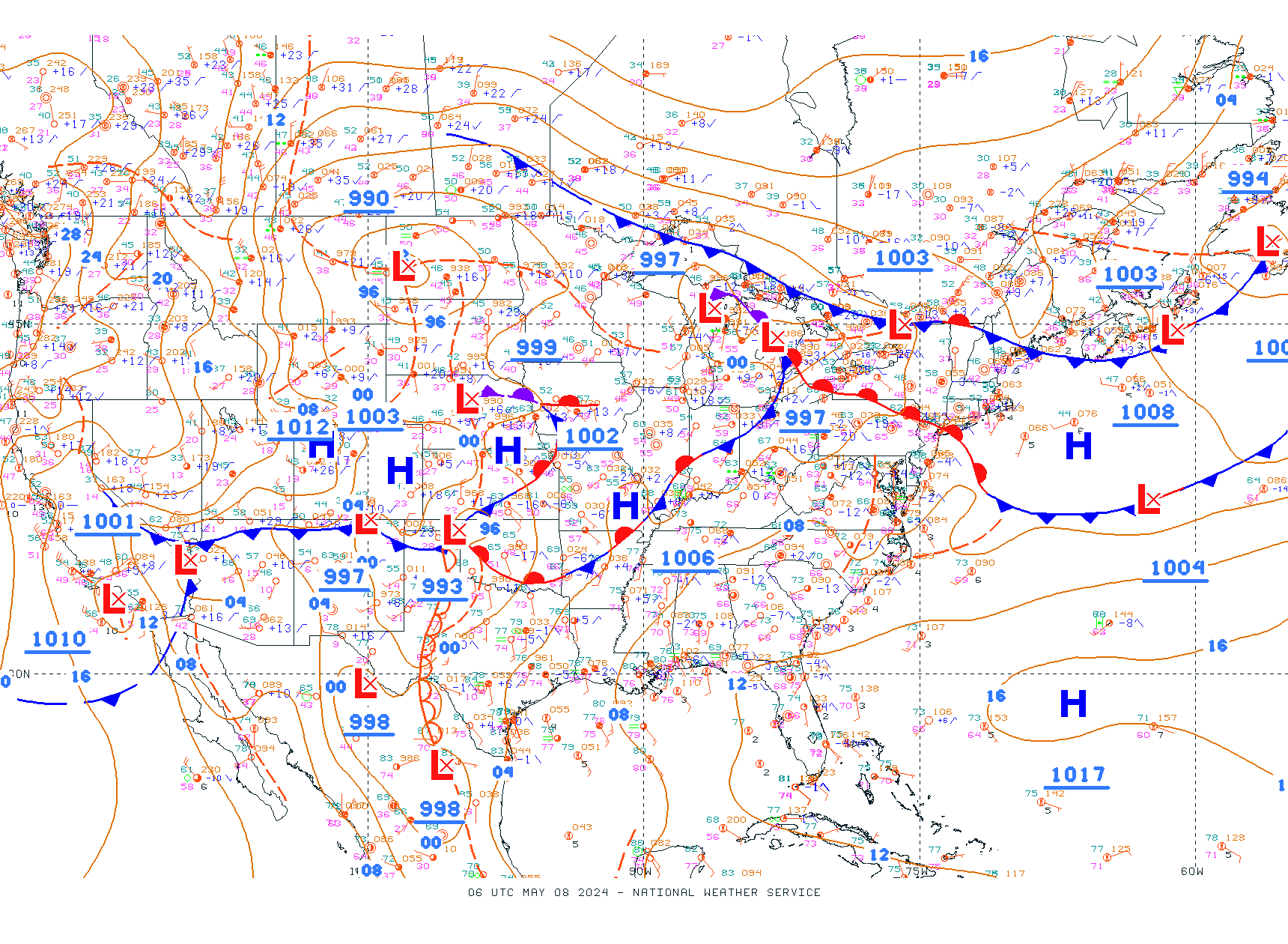
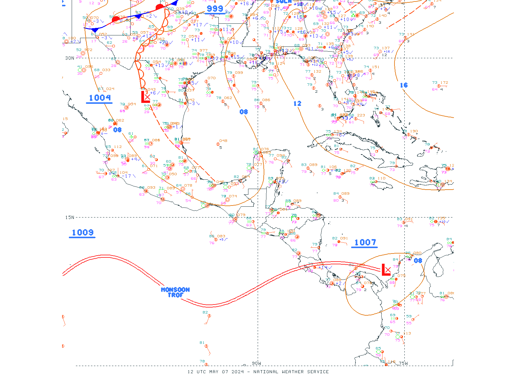
If the answer to any of these questions is "yes," I then turn to the Graphical Weather Forecast web page and the Daily Weather Charts web page. These pages allow me to become aware of potentially strong or severe storms that will be moving into this area in the next few days, and to immediately begin preparing for the effects of these storms, so that on the day of the storm I can devote primary attention to the job of providing "ground truth" to the NWS. I am a licensed Amateur Radio operator, AF4AX (Extra Class), and a member of ARES (Amateur Radio Emergency Service), a group of radio amateurs who have voluntarily registered their qualifications and equipment, with their local ARES leadership, for communications duty in the public service when disaster strikes.

Photo Right: The first tornado captured by National Severe Storms Laboratory (NSSL) doppler radar and NSSL chase personnel, May 24, 1973.
The tornado has reached the mature stage of formation


My Weather Station, Cypress Cove, Decatur / Priceville, Ala.
Also available at the Weather Underground: KALDECAT55

Data from this weather station is periodically unavailable due to networking issues.


National and Local Radar


Huntsville Weather Forecast Office

NWS Huntsville Facebook

NWS Huntsville Severe Weather Briefing Page

NWS Huntsville Observational Resources


Watches, Warnings or Advisories for Morgan (ALC103) Alabama


Weather at Pryor Field, Decatur, AL - Conditions - Last Three Days | Meteogram
Radar for Huntsville
All links open in a new window at an external site.


North Alabama Lightning Mapping Array
If you can hear thunder, you can be struck and killed by lightning. Take cover in a sturdy building.


Hazardous Weather Outlook


WAAF-TV 48 Doppler Radar

National Weather Service Radar

KHTX (WSR-88D) Weather Radar, Hytop, AL
(Experimental)

Hytop Radar Loop

Area Forecast Discussion

National Forecast Chart - Day 1

National Forecast Chart - Day 2

National Forecast Chart - Day 3


Short Range Forecasts
Weather Prediction Center

Short range forecast products depicting pressure patterns, circulation centers and fronts, and types and extent of precipitation.
 

12 Hour

24 Hour

36 Hour

48 Hour


Medium Range Forecasts
Weather Prediction Center

Medium range forecast products depicting pressure patterns and circulation centers and fronts
 

Day 3

Day 4

Day 5

Day 6

Some additional products available at the Weather Prediction Center:


North American Surface Analysis 

Weather Prediction Center


Surface Analysis


Additional Unified Surface Analysis at Ocean Prediction Center
Continental US
Southeast US
Gulf of Mexico


Upper Air Maps
The National Center for Atmospheric Research
University Corporation for Atmospheric Research
RAL Real-Time Weather Data
Winds/Temps at Specified Pressures, including Contours (mb)

250 mb Upper Air Map

250 mb Upper Air Map

500 mb Upper Air Map

500 mb Upper Air Map

700 mb Upper Air Map

850 mb Upper Air Map

850 mb Upper Air Map

850 mb Upper Air Map

Plus: 200mb     300mb    925mb


The Storm Prediction Center

Day 1 Convective Outlook


Additional Products at the Storm Prediction Center


GOES Image Viewer

Images from GOES-16 (East) and GOES-17 (West) Satellites.
The Geostationary Operational Environmental Satellites (GOES) are operated by

NOAA STAR Center for Satellite Applications And Research
Satellite and Information Service, The National Environmental Satellite, Data, and Information Service (NESDIS)
National Oceanic and Atmospheric Administration, US Department of Commerce

Links to Quick Guide Cards for All Bands

CONUS

GeoColor

Visible Blue 0.47 μm (Band 1)

Near Infrared Channel
0.86 μm (Band 3)

Longwave Infrared
10.3 μm (Band 13)

Shortwave IR and Water Vapor
 

Water Vapor - Upper Level
Channel 6.2 μm (Band 8)

Quick Guide To Band 8 (PDF)

Water Vapor - Mid Level
Channel 6.9 μm (Band 9)

Quick Guide To Band 9 (PDF)

Water Vapor - Lower Level
Channel 7.3 μm (Band 10)

Quick Guide To Band 10 (PDF)

Southern Mississippi Valley

GeoColor

Visible Blue 0.47 μm (Band 1)

Near Infrared Channel
0.86 μm (Band 3)

Longwave Infrared
10.3 μm (Band 13)

Shortwave IR and Water Vapor
 

Water Vapor - Upper Level
Channel 6.2 μm (Band 8)

Water Vapor - Mid Level
Channel 6.9 μm (Band 9)

Water Vapor - Lower Level
Channel 7.3 μm (Band 10)


Gulf of Mexico GOES Satellite Images

Caribbean GOES Satellite Images

Also see these Images at the Satellite Page, Huntsville WFO


National Hurricane Center

Eastern North Pacific Tropical Weather Discussion
Atlantic Tropical Weather Discussion


Eastern Pacific - Two Day Tropical Weather Outlook


Atlantic - Two Day Tropical Weather Outlook


Five Day Graphical Tropical Weather Outlook
 

Five Day Graphical Tropical Weather Outlook


Weather Prediction Center, National Weather Service

Storm Prediction Center, National Weather Service

Quick-Look Graphics at the National Blend of Models, National Weather Service

Elements such as Temperatures, Dew points, POP, Predominant Weather, QPF, Sky, Ceiling, Visibility, Snow, Ice, Wind, Thunder. Some other pages require CAC access.

European Centre for Medium-Range Weather Forecast (ECMWF)
Ensemble Mean and Spread.

Four Standard Parameters can be selected: mean sea level pressure, 850 hPa temperature, 850 hPa wind speed and 500 hPa geopotential height.
The default is Europe; other areas can be selected including North America, South America, Asia, Australia, Africa, Northern Hemisphere, and Southern Hemisphere.


Weather Underground's Maps Page contains a number of products including:


Jet Stream Forecasts

A remarkable collection of weather charts including the GFS and ECMWF models. It is based in UK.

The Global Jet Stream graphic can be moved using the mouse to show any area including North & South America, the North & South Atlantic, Europe, Asia, Africa, Australia, the North & South Pacific as well as a North & South Polar views. Close-ups of specific areas are also possible. It is mesmerizing to watch this time specific graphic, which can also be advanced in time by four-hour increments out to ten days. The maps update four times a day. Further additions are promised.


A few weather pages on this web site:

Some older pages have been removed due to broken links.

  • Graphical Weather Forecast (Broken links required removal of these and some following links)

  • Daily Weather Charts - Complete

  • Model Outlook

  • Hazardous Weather Quick Look (the several NWS web pages used during strong or severe storms; carefully check the date and time of the statement, report or alert)

  • Quick Text Links

I hope to have these pages restored at some point.


Huntsville Weather Forecast Office

Storm Prediction Center, National Weather Service

Observed Soundings particularly for the following WFOs:

  • Birmingham, AL - BMX (including tabular data)

  • Nashville, TN - BNA

  • Jackson, MS - JAN

  • New Orleans, LA - LIX

  • Little Rock, AR - LZK

Watch / Warning Map


Local Weather

Alabama WX Blog (Spann)

WHNT-19 Home
WHNT-19 Wx
WHNT-19 Interactive Radar
WHNT-19 Maps & Radar

WAAY-31 Home
WAAY-31 Wx
WAAY-31 Radar
WAAY-31 Wx Blog

WAFF-48 Home
WAFF-48 Wx
WAFF-48 Radar

WAFF-48 Alfa Camera Network

WZDX-54 Fox Home
WZDX-54 Fox Wx

Local & National Weather Radar


WAAY-31 Early Warning Dual-Pol Radar Network

The Shoals - Muscle Shoals
From Iuka, MS / State Line to Decatur

Decatur-Huntsville
From Hillsboro to Scottsboro

Sand Mountain / Guntersville
From Decatur to Fort Payne / State Line


WAAY-31 Weather Cam Network

Tuscumbia
Decatur
Intergraph / Madison
WAAY-TV / Huntsville
Guntersville


Return home to:
A Treasury of Christmas Carols


Please help spread the good news at Facebook about the over 4,300 Christmas hymns and carols at this web site:
 

Thanks!


Amateur Radio Fact of the Day


SKYWARN Storm Spotter American Radio Relay League

AF4AX


Amateur Radio Emergency Service