Radar Images
Note: This page will automatically refresh itself every three minutes.
Today is Monday, April 14, 2025
This free script provided by
JavaScript
Kit
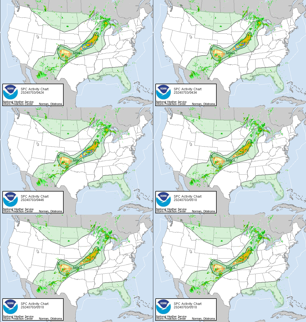
US National Radar
Source:
Storm Prediction
Center, NCEP, NWS
If
there is a notation "See Text," refer to the text messages
at
Day
One Convective Outlook.
See also:
AccuWeather.com
Enhanced Radar
Long Range Base Reflectivity |
Additional
NWS Radar Links
Southeast
Sector |
Loop
Lower Mississippi Valley Sector |
Loop
Upper
Mississippi Valley Sector |
Loop
South
Plains Sector |
Loop
Pacific
Northwest Sector |
Loop
Source:
National
Doppler Radar Site, National Weather Service
Also: Weather.com SE US Radar
WAAY-31 Early Warning Dual-Pol Radar Network
|
The Shoals -
Muscle Shoals From Iuka, MS / State Line to Decatur |
Decatur -
Huntsville From Hillsboro to Scottsboro |
Sand
Mountain - Guntersville From Decatur to Fort Payne / State Line |
|
Hytop, Alabama |
Morgan-Limestone-Madison Close-up - Hytop, Alabama |
|
|
|
|
Source: Hytop Radar Image for north Alabama and Tri-County Radar, Weather Underground
Composite Reflectivity |
Base Reflectivity |
Other NWS-Huntsville Radar
NWS Radar Loop from Huntsville, NWS
Hytop
(Alabama)
|
Hytop
Radar Loop,
National Weather Service
Huntsville
Radar, College of DuPage, Next Generation Weather Lab,
Main
Analysis Page
(multiple
views of reflectivity and velocity)
ARMOR
Radar at UAH
(Advanced Radar for Meteorological and Operational Research)
Note:
ARMOR Data is now available as a Google Earth overlay. Google Earth®
software required.
Huntsville
and
Regional
Weather Map,
Weather Underground
Hytop
(Alabama)
|
Hytop
Radar Loop,
National Weather Service
Columbus
Air Force Base
(Mississippi),
National Weather Service
Southern
Mississippi Valley Sector Mosaic,
National
Weather Service
National
Radar Mosaic, National Weather Service
NEXRAD
for HSV
/
Regional
NEXRAD for SE US
Satellite
/
Severe
/
Tornado
/
Hurricane
Alabama
- Next Generation Weather Lab, College of DuPage
National
Radar |
National
Satellite |
SE
US Radar |
SE
US Satellite - Source: NBC
WeatherPlus
North Central Alabama Television Station Weather Radars
Channel 19 Weather Page
Channel 19 Armor Doppler Radar Loop
Channel 31 Radar Loop
Channel 48 Live Doppler Radar Loop
Weather Underground Animated Radar Loop for
Northern Alabama
Weather Station at 24 Willow Place:
KALDECAT4
KALDECAT4
| CW7715
| PWS Weather
Weather
Station at
Pryor
Field, Decatur, AL -
Conditions
- Last Three Days |
Meteogram
A few of the additional weather pages on this web site:
Daily Weather Charts - Complete
Huntsville Weather Forecast Office, National Weather Service
Short Term Forecast
(The 6-Hour NOWCAST).
Not issued during fair weather. Access only during inclement weather;
carefully check the date and time.
Special Weather Statements
Issued infrequently; carefully check the date and time.
Storm Reports
Storm specific; carefully check the date and time.
Storm Prediction Center: Watches, Mesoscale Discussions, Outlooks
Links to College of DuPage Next Generation Weather Lab: